BioBlitz 2015 - Wallagoot Catchment
This year we are organising our BioBlitz in the Wallagoot Catchment on Friday December 4th and Saturday 5th. We are focusing on increasing the value of the science of the BioBlitz and hope to be running specialist survey training for those who are particularly interested before the BioBlitz.
We will be posting more details in the run up to the event and as usual we are seeking volunteers to help with all aspects of the BioBlitz, from Basecamp to data entry, survey leaders and survey leader's assistants, photographers and guides. Please contact Libby or Patrick if you would like to be involved: info@atlasoflife.org.au

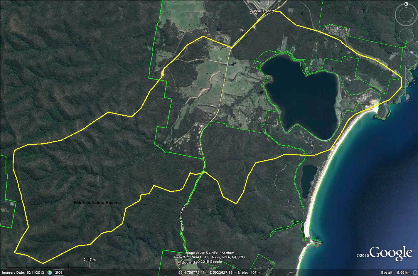
The Wallagoot catchment is predominately forest or woodland with cleared land for agriculture. Wallagoot Lake itself is an ICOLL - with high vulnerability as it has the lowest opening frequency on the South coast. It has seagrass beds and small areas of saltmarsh). There are large areas protected in the Bournda National Park and Bournda Nature Reserve as well as Bega Local Aboriginal Land Council land and property in private ownership. There are several endangered ecological communities: River-flat Eucalypt Forest on Coastal Floodplains, Freshwater Wetlands on Coastal Floodplains, Bangalay Sand Forest, Swamp Oak Floodplain forest and Coastal Saltmarsh. There are a number of threatened flora an fauna species as well as a number of invasive species in the area. The Kalaru/Wallagoot area is rich in fauna values, especially for the Yellow-bellied Glider, Glossy Black Cockatoo, and threatened shore and water birds. The area is a wildlife corridor allowing species to move between more and less disturbed areas.
We have been invited to help create a biodiversity snapshot of the area to contribute to the land management plans being developed by Bega LALC. It is planned that this will be the first of a series of BioBlitzes which will be undertaken in subsequent years along the important wildlife corridor that runs from Bournda up to the hills of Wadbilliga National Park.

